


A Drought Update - Is There Really A Concern?
Drought has been expanding - Let's Take A Look

Welcome to the Weather 20/20 Intelligence Report. I have been receiving messages and comments from many of the farmers out there with increasing concern for a developing drought. In this report we will look at the latest trends, and I will provide some insight into what the LRC model shows for the months ahead of us. So, let’s get started.
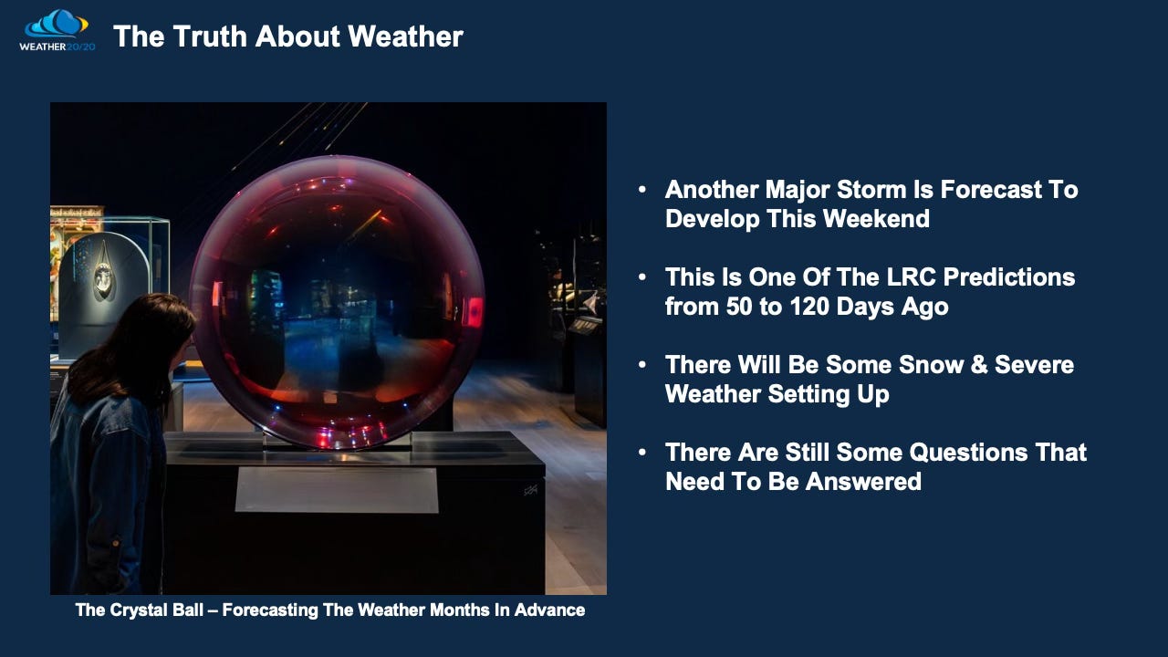
Another storm is developing and it has been in our “Crystal Ball of weather forecasting” for months. We are moving into the part of the LRC that produced the blizzard on January 5th, another blizzard in February, and the big question is will it produce another winter storm in late March?
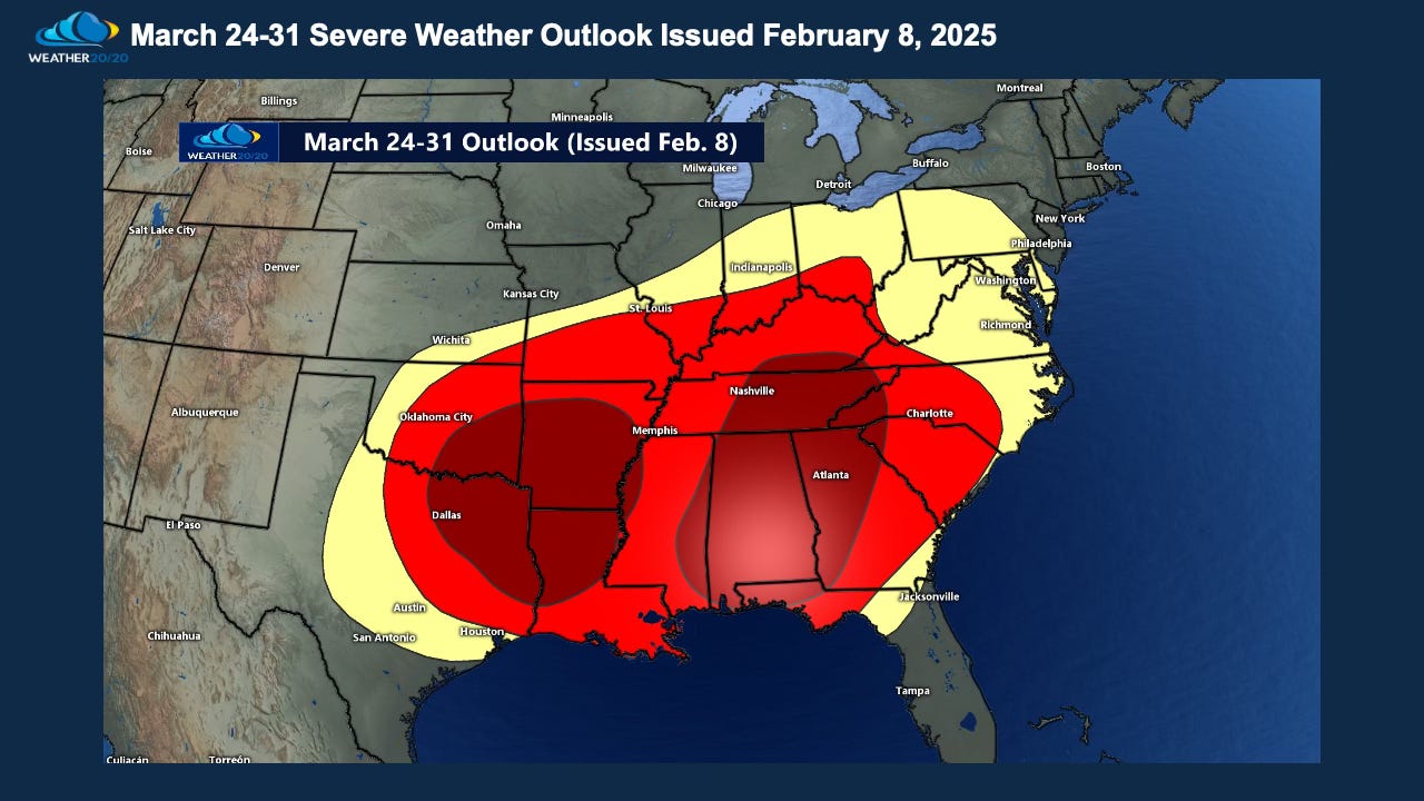
Severe Weather is in the forecast for this weekend as the expected storm begins to materialize. Here is the risk Weather 20/20 made and it has been in our Severe Weather Forecast Guide for nearly 50 days now:
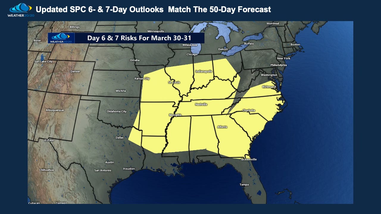
Here is the latest day 6 and 7 outlook from the Storm Prediction Center, and notice how it is lining up with our 50 day forecast.
We will learn more about the specifics of the severe weather setup, and also the winter storm potential. This next slide shows the latest GFS model forecast for the developing weekend storm:
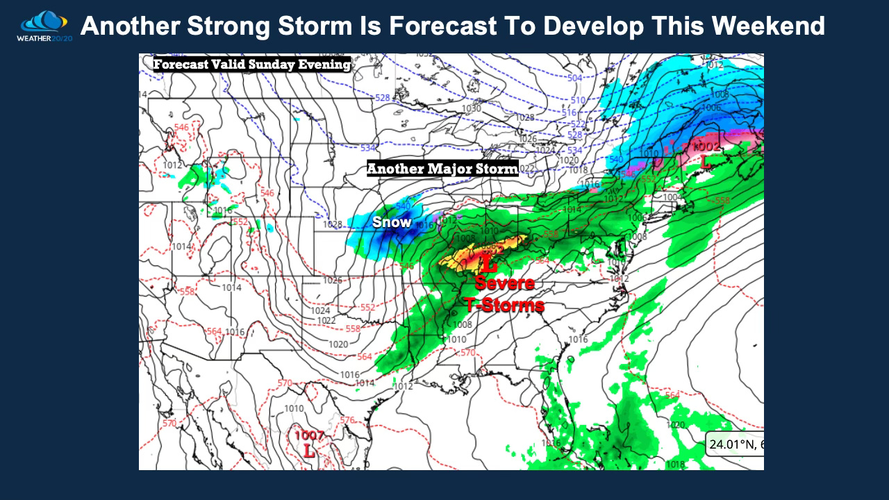
As I stated, there has been a blizzard in the past two cycles, and in the previous cycle before that, Kansas City, MO extending east to Louisville, KY had a snowstorm on November 30th. March 30th is 120 days after that storm, and look where this one is forecast to be on Sunday evening. It is right on schedule. Now, will it be cold enough to snow in KC again? It is definitely on our radar!