


A Look At Hurricane Season & A Deep Dive Into The LRC
The weather pattern is right on schedule as we move through the sixth LRC Cycle

Welcome to the middle of July & thank you for being premium members of Weather 20/20 as we share with you the cycling weather pattern! The video is posted in the content below.
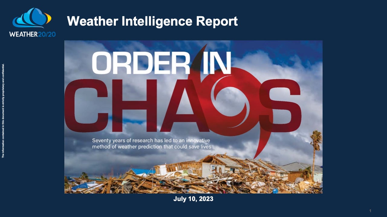
What is the exact opposite of chaos? Order! We are sharing with you the order in chaos and it was introduced five years ago with our peer reviewed paper called “Cycling weather patterns in the Northern Hemisphere 70-years of research & a new hypothesis”: Cycling Patterns Paper and in the article from Meteorological Technology International magazine, with the article titled: Order In Chaos. One amazing fact that we are showing in this weeks report is that the pattern that is cycling through now is directly related to the part of this year’s pattern that cycled through Christmas week.

It has been a stormy month over eastern Colorado extending southeast into the southern and western plains states. It is still green here in the foothills west of Denver which has delayed fire season for sure. It is beginning to dry out a bit as of this past weekend.


The National Hurricane Center is monitoring the central Atlantic for a slight chance of development in the next seven days. If you remember, last year had a record quiet stretch from July 4th through the end of August. There were only nine named storms last year before the end of this year’s LRC. And, then suddenly there were five new ones after this pattern set up in early October.
Weather 20/20 predicted the quiet season a year ago, and we also predicted the one major hurricane that impacted the United States; Major Hurricane Disaster Ian. This year, Weather 20/20 is again being tracked by the Barcelona Supercomputing Center as shown below:

Weather 20/20 is predicting 14-18 named storms for the season, more active than a year ago, and an ACE (Accumulated Cyclone Energy) of between 120 and 140, or slightly above average. We will dive deeper into this in the next few weeks.
Here is today’s video describing this complex weather pattern. I will showcase where we are in the pattern now, and where it will likely be wet in the next two weeks, and where the struggles for rain are most likely: