
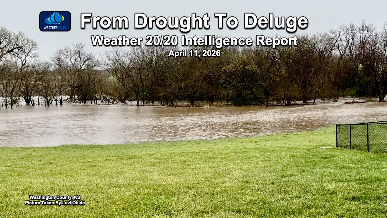
From Drought To Deluge
Northern Kansas Gets More Than 6" of Rain

Welcome to the Weather 20/20 Intelligence Report!
Last night was dramatic, with flooding rains developing near the Nebraska/Iowa border. On the opening slide, we can see the flooding in Washington County, Kansas. Over 6 inches of rain fell in many spots across northern and northeastern Kansas, with a good soaking extending into northwestern Missouri.
First, we want to extend a sincere welcome and thank you to all of our Weather 20/20 customers. Your continued support allows us to share these insights and data at a deeper level, helping you make more informed decisions in a world where weather risk is often underestimated.
Even though the same pattern is cycling, we are seeing how the spring version of this segment is expressing itself very differently — producing excessive rainfall in some areas while leaving others in serious drought conditions. This sharp contrast is creating growing concerns in agriculture. Fields that are too wet are delaying planting, increasing the risk of soil compaction and nutrient loss, while nearby regions missing the heavier rainfall continue to face moisture deficits that could stress early crop development.
This is exactly where understanding the cycling pattern becomes critical — not just recognizing that the pattern is repeating, but how its seasonal expression is shifting the risks and opportunities across the region. For those of you new to the LRC, a unique pattern sets up every fall, and then cycles through winter, spring, and summer. We are in the third cycle of this year’s pattern and these storm systems are right on schedule. If you are in Colorado, you may be thinking “what storm systems” as it has continued to be very calm and extremely dry, a devastating ski season. There are some chances of rain, thunderstorms, and some snow in the forecast for the week ahead.
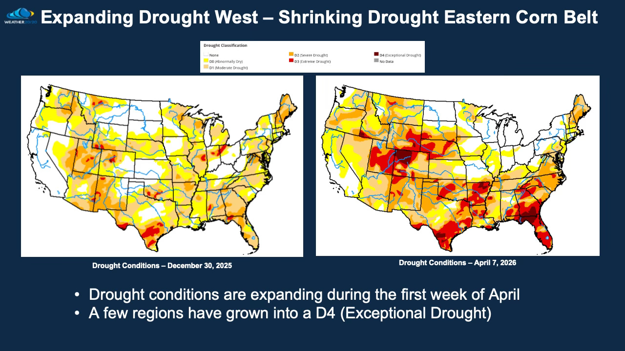
Current Drought Monitor:
Concerns in the Next Two Weeks
A likely freeze extending south across the Dakotas and Minnesota, reaching into Nebraska and Iowa. This could pose a risk to early-season crops and emerging vegetation.
Severe weather risks and additional flooding potential, which may lead to planting delays and fieldwork disruptions in already saturated areas.
A sharp and important contrast in moisture patterns continues to develop:
Drought conditions have been wiped out from northern and eastern Kansas northeast across much of Iowa, Illinois, Indiana, Ohio, and into the Northeast. At the same time, drought conditions are expanding across Colorado, Utah, Wyoming, and parts of Nebraska.
There appears to be a “wall” in the pattern that is difficult to break — where areas east of this boundary are seeing adequate to excessive rainfall, while areas to the west continue to dry out and deteriorate.
The key question over the next two weeks:
👉 Does this wall break?If it does, we could begin to see drought conditions shrink in the western regions. If it holds, the divide may intensify, increasing stress in already dry areas.