
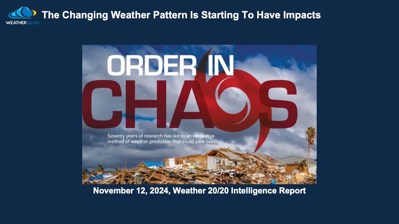
The Changing Weather Pattern Is Starting To Have Impacts
The first cycle of the 2024-2025 season is still setting up

Welcome to this week’s Weather 20/20 Intelligence Report. As we monitor the evolving weather pattern—a pattern that will influence our weather in the coming year—we have several key topics to discuss. From the dynamic activities in the tropics to some signs of cold air build-ups over northern Canada, and the current state of drought conditions, there's much to discuss. Additionally, we'll explore whether these drought areas are expanding or contracting as the season progresses. Ready to dive into these deep weather insights? Let’s get started.
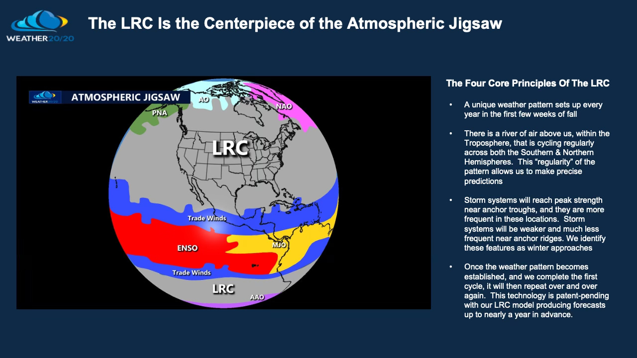
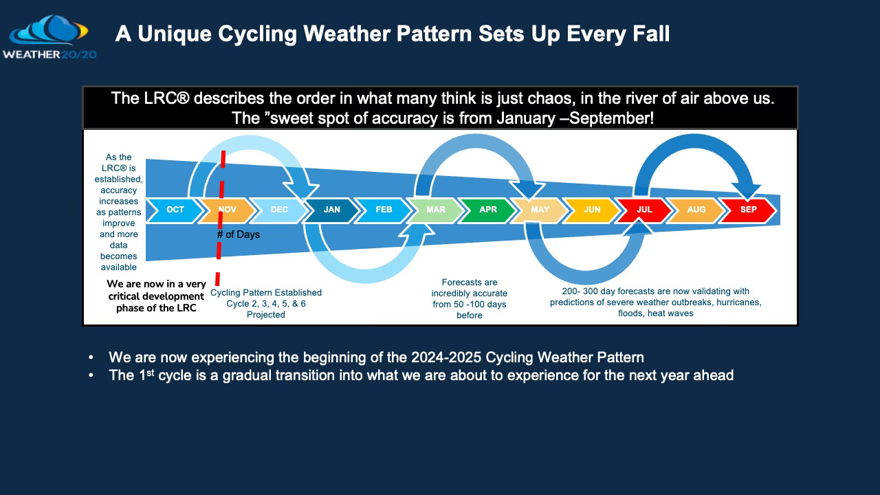
The initial cycle of the 2024-2025 Lezak Recurring Cycle (LRC) is actively unfolding. Our team at Weather 20/20 is meticulously analyzing this developing pattern to establish the cycle's length and pinpoint where the most impactful storms are likely to occur throughout the year. Understanding the location of these "anchor" troughs & ridges is crucial, as areas near these features tend to experience more frequent and intense weather events, potentially leading to above-average precipitation, and where the less frequent and weaker storm systems will be located.
In today’s video presentation, I’ll guide you through a comprehensive 36-slide show in under 10 minutes, highlighting key aspects of this evolving weather pattern. You’ll gain insights into the unique characteristics that define this year’s LRC and see visual examples of the significant changes we’re tracking, and then following the video I will explain a few of the graphics in this report.