The Countdown Begins - 40 Days Until The New LRC Begins
We are now in the 8th cycle of this year's pattern!
As we countdown the final 40 days until the onset of the new Lezak Recurring Cycle (LRC), there’s much to discuss. In this edition, we go in-depth into the eighth cycle of this year's LRC. To better understand the current atmospheric dynamics, please take a few moments to watch the accompanying video where I break down the complexities of what we’re observing as we transition to a new pattern. Your insights and feedback are invaluable so if you have any thoughts or questions, please ask.
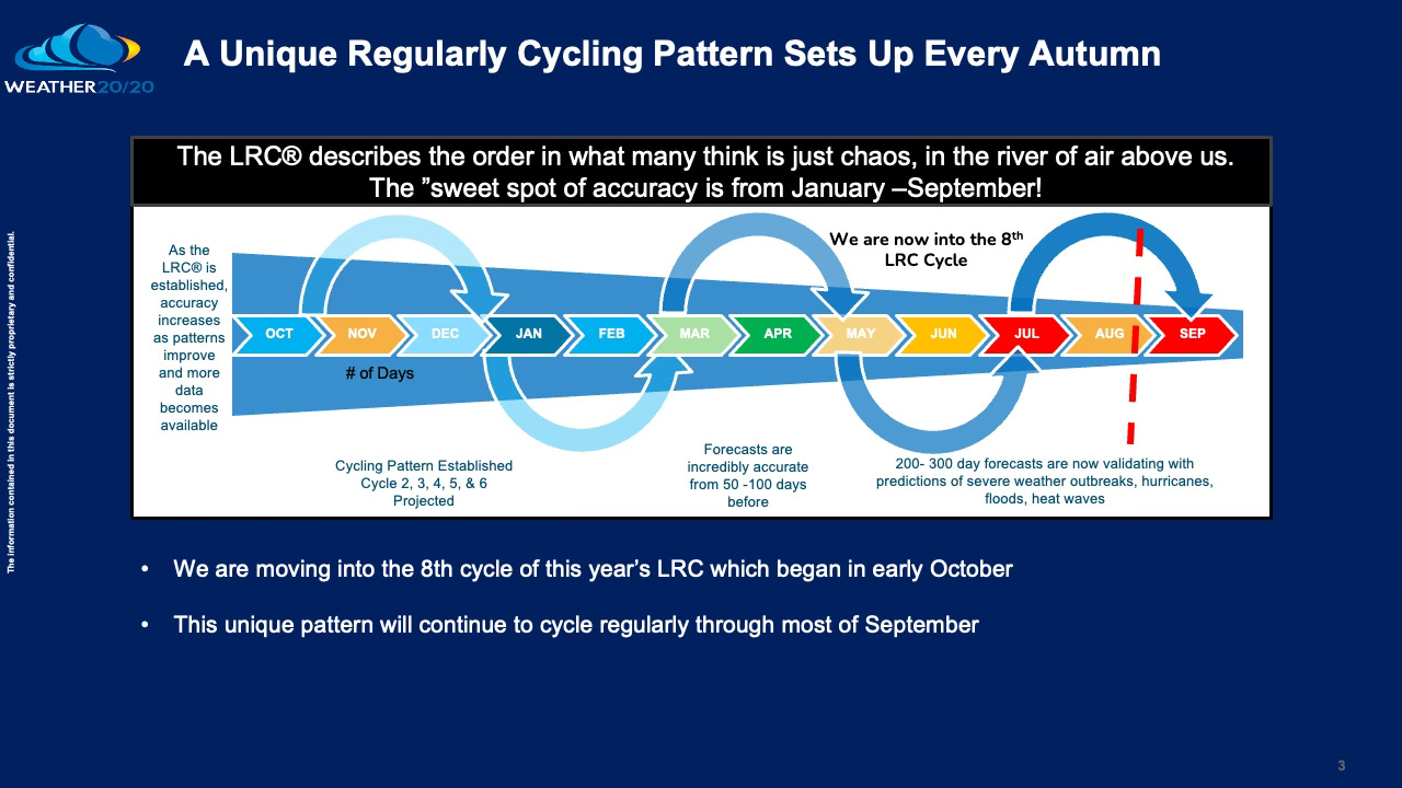
The weather pattern that has influenced our climate has existed since last fall is nearing its annual transition. As September arrives, we are still under the influence of the 2023-2024 cycling pattern. However, subtle shifts suggest that a slow transition may already be underway. By early October, we will begin to bid farewell to the current weather pattern that has impacted our daily lives over the past year.
How can we be certain that we're still operating under the same weather pattern that set up 11 months ago? The following four examples provide compelling evidence, not only confirming that we are indeed experiencing the same cycle, but also posing the question: How is it that this pattern recognition isn't more widely acknowledged? Well, you are in on this secret!
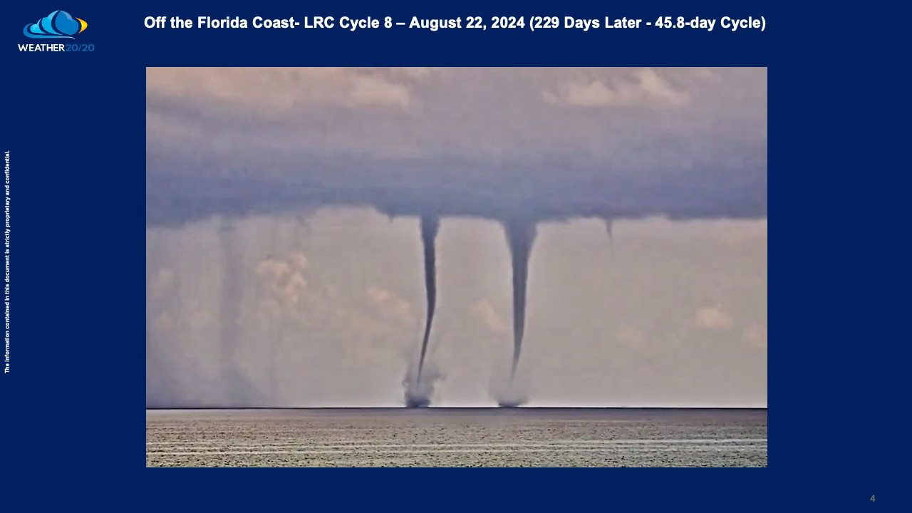
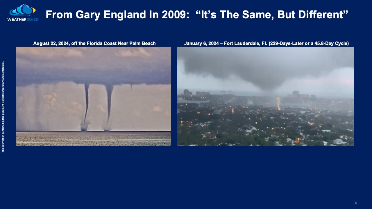
Consider a recent event—a striking scene off the coasts of Fort Lauderdale and West Palm Beach, where a series of waterspouts emerged from offshore thunderstorms. Notably, one waterspout quite spectacularly rotated around the other one.
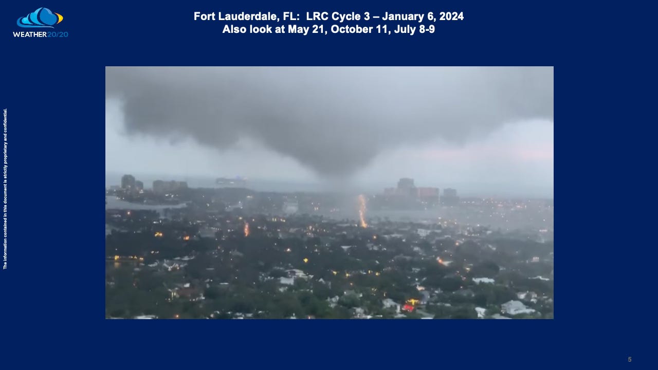
For those familiar with the LRC, this observation may not come as a surprise. Earlier in the third cycle of this year’s weather pattern, a tornado was captured on video over Fort Lauderdale. Remarkably, this event aligns precisely with the 6-7 week cycle that has been consistent since this pattern began. This cyclical predictability underscores the reliability of the LRC, demonstrating how these weather events are not random but part of a discernible and recurring pattern.
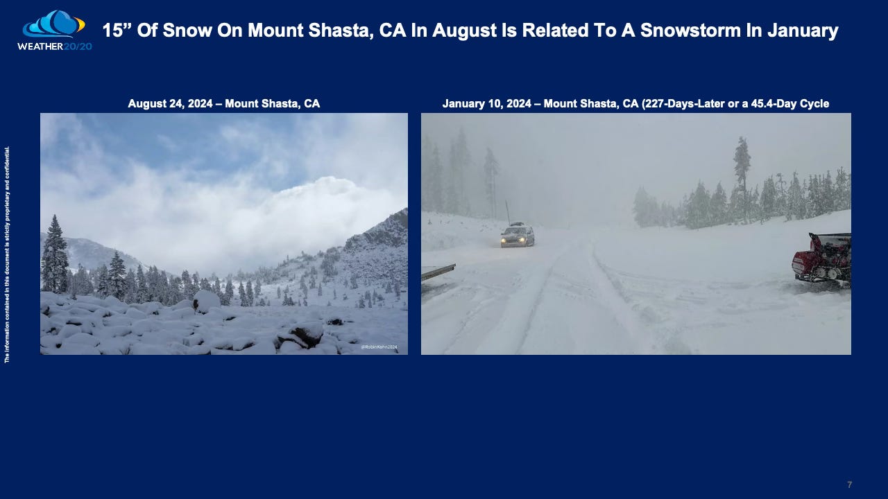
Just days after the waterspouts and tornado in Florida, attention shifts to the West Coast. Mount Shasta in Northern California, soaring above 14,000 feet, recently received a 15-inch snowstorm. While some meteorologists on X described this as an early-season event, those familiar with the LRC understand differently. This is not an early snowfall but a late-season occurrence, directly tied to a similar storm from January 10th, as demonstrated in the data below. This connection once again validates the cyclical nature of the weather pattern, and the reliability of the forecasts.


